DAL
Dallas Love Field
Dallas, TX · major airport
12 mi southwest · 18 miles, about 27 min by road
Directions ↗
City facts
Dallas and Collin counties, Texas · 15 miles northeast of Dallas
Richardson is in Dallas and Collin counties, Texas, about 15 miles northeast of Dallas. The center of Richardson sits at 32.9723° N, 96.7081° W, 637 feet above sea level, on Central Time (CT).
Updated November 2026
Map of 7 places loads as you scroll.
Road distance and typical driving time from the center of Richardson, without live traffic.
| City | By road | Drive time |
|---|---|---|
| Dallas, TXsouthwest · pop. 1,326,087 | 16 mi15 mi straight line | 25 min |
| Austin, TXsouth · pop. 993,588 | 209 mi195 mi straight line | 3 hr 45 min |
| Houston, TXsouth · pop. 2,390,125 | 253 mi235 mi straight line | 4 hr 30 min |
| San Antonio, TXsouthwest · pop. 1,526,656 | 289 mi267 mi straight line | 5 hr 15 min |
Airports with scheduled passenger flights, shortest drive first. The Richardson airport guide has drive times, transit and a comparison.
Dallas, TX · major airport
12 mi southwest · 18 miles, about 27 min by road
Directions ↗Dallas-Fort Worth, TX · major airport
20 mi west · 27 miles, about 35 min by road
Directions ↗Local City Network guides for nearby cities.

A WALK AROUND TOWN
A short walk around Point North Park on a windy spring day.
Watch on YouTube ↗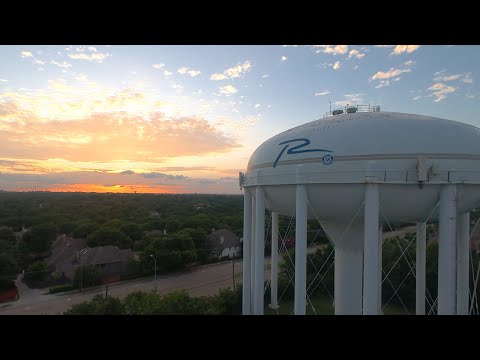
THINGS TO DO · YOUTUBE SHORT
Drone views of UT Dallas, CityLine, Breckinridge Park, Spring Creek Nature Area and more.
Watch on YouTube ↗Richardson is in Dallas and Collin counties, Texas, about 15 miles northeast of Dallas. The center of Richardson sits at 32.9723° N, 96.7081° W, 637 feet above sea level, on Central Time (CT).
Richardson is 16 miles from Dallas, Texas by road, about 25 min of driving without traffic (15 miles in a straight line).
Richardson is 209 miles from Austin, Texas by road, about 3 hr 45 min of driving without traffic (195 miles in a straight line).
Dallas Love Field (DAL) in Dallas is the closest airport with scheduled flights by road: 18 miles, about 27 min to the passenger terminal, 12 miles southwest in a straight line from the center of Richardson. The airport guide compares them all.
About 637 feet (194 meters) above sea level at Richardson's center point, per the USGS 3D Elevation Program. Elevations vary across the city.
On average Richardson gets 1.7 inches of snow a year (NOAA 1991-2020 normals); see the full snow guide for months and records.
Sources: county from the Census Bureau geocoder, with the other counties the city spans from the FBI's list of counties its police agency serves; elevation from the USGS 3D Elevation Program; airports from OurAirports (the same list as the airport guide); city populations from the Census Bureau's Vintage 2024 estimates; road distances and drive times from OSRM on OpenStreetMap data (© OpenStreetMap contributors). Checked November 2026. Drive times are typical and exclude traffic.